Geography Lesson On the 50 States
Click link above for lyrics & subtitles
Subject – Social Studies
Grade Level – 2nd/3rd
Subject Area: Geography
Lesson Plan: http://www.lessonplans.com/ext-resource.php?l=http://www.lessonplanspage.com/SS50StateGeography23.htm
Video: http://www.youtube.com/watch?v=sNUDDaEOvuY & http://www.youtube.com/watch?v=MSvJ9SN8THE&feature=related (Lyrics and subtitles).
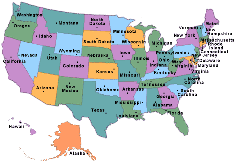
Picture: http://www.infoplease.com/states.html
Grade Level – 2nd/3rd
Subject Area: Geography
Major Objective: To identify the location of a state, compare population sizes from various states, learn the state bird, flag, and location on the map.
Materials: Giant floor map of the United States, black and white US maps, yellow, orange, & red crayons.
Related URL’s: http://www.50states.com
http://www.50states.com/bird
http://www.50states.com/flag
http://www.askjeeveskids.com
Time Required: Social Studies periods for about 3 weeks, plus a couple of computer lab periods.
Activities and Procedures: Recently as a part of the census, we were given a floor size map of the United States, made of a durable material. The states are colored red, orange, and yellow based on the population of the particular state. This is a great visual.
Each student will pick the name of a state from “a hat”. They will have to have located that state on the giant map and record the color. They can then go to the key to see what population size that color represents.
Then, during computer class, we can go to the lab and do some research about our state. We will go to http://www.50states.com to find out the name of the capital city of this state. From there we will go to http://www.50states.com/bird to located the state bird. Then a picture of the bird can be printed out. From there we will go to http://www.50states.com/flag to find out about that state’s flag. Once again, a picture of the flag can then be printed out.
Finally, we will access http://www.askjeeveskids.com to locate a map of the stated, which outlines the shape as well as other cities.
Follow-Up/Extension: Once all of the necessary material has been found about the various states, each student will be responsible for presenting his/her state to the class, based on the information that they have located. Each of the students in the class will have a black and white copy of the U.S. map, so when a state is being presented, they can color in that particular state the appropriate color, based on population size. Each student can display their pictures about their state on poster board, to be displayed around the room.
Sources
Lesson Plan: http://www.lessonplans.com/ext-resource.php?l=http://www.lessonplanspage.com/SS50StateGeography23.htm
Video: http://www.youtube.com/watch?v=sNUDDaEOvuY & http://www.youtube.com/watch?v=MSvJ9SN8THE&feature=related (Lyrics and subtitles).
Picture: http://www.infoplease.com/states.html
Great ideas..I like the embedded video...
ReplyDelete